Projects
Production platforms, machine learning experiments, and spatial analysis case studies — where mapping, data, and engineering meet.
Browse all repositories on GitHub →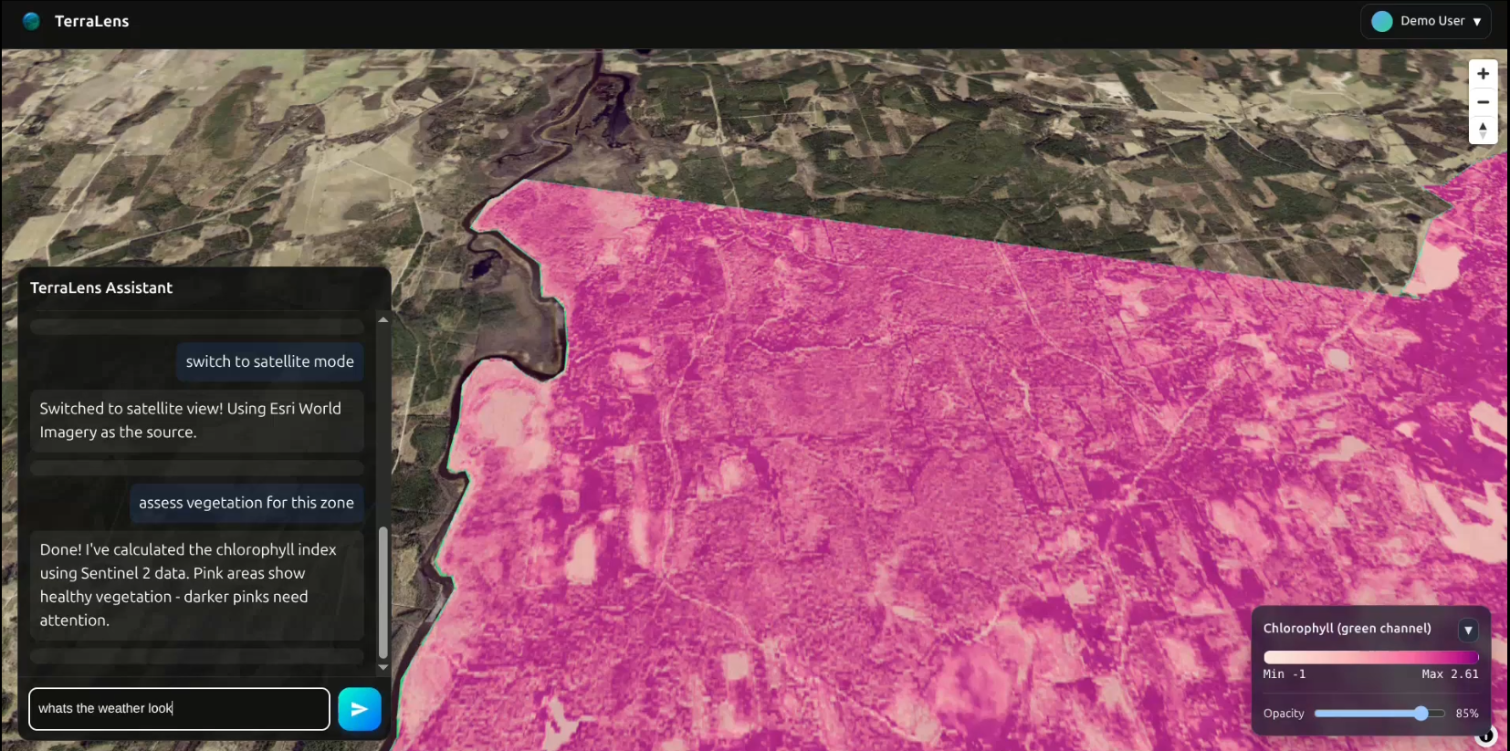
TerraLens
AI-powered chatbot interface for geospatial analysis platforms. Ask questions, run analyses, and navigate maps in natural language.

eSurvey Mobile App & Web Portal
Built for Farmdar: customisable, pre-loaded crop development activity calendar with task assignment, scheduling and audit for field managers.

Erosia — Erosion Analysis Platform
Geospatial platform for erosion prediction and sediment flow analysis, built for erosion control planning: visual erosion prediction, hydrologic analysis, and mapping for MS4 and SWPPP requirements.
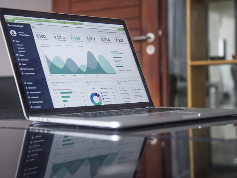
Geospatial Project Management Platform
Project management application for spatial data workflows: attendance tracking, project uploads, visualization tools, and delivery management for field and office teams.
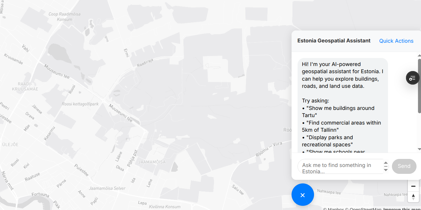
DuckGeoGPT
Query spatial databases in plain English. Gemini 2.0 translates natural language to SQL over DuckDB, with Deck.gl rendering and data export built in.
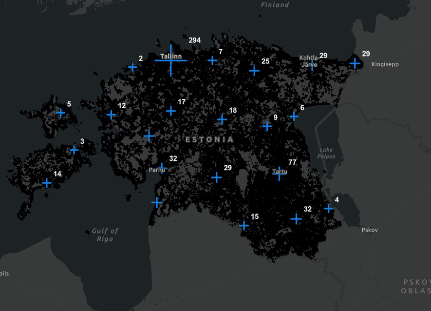
EE Health Care Facilities Map
Interactive map of Estonian healthcare facilities against population density, supporting healthcare planning and resource allocation.
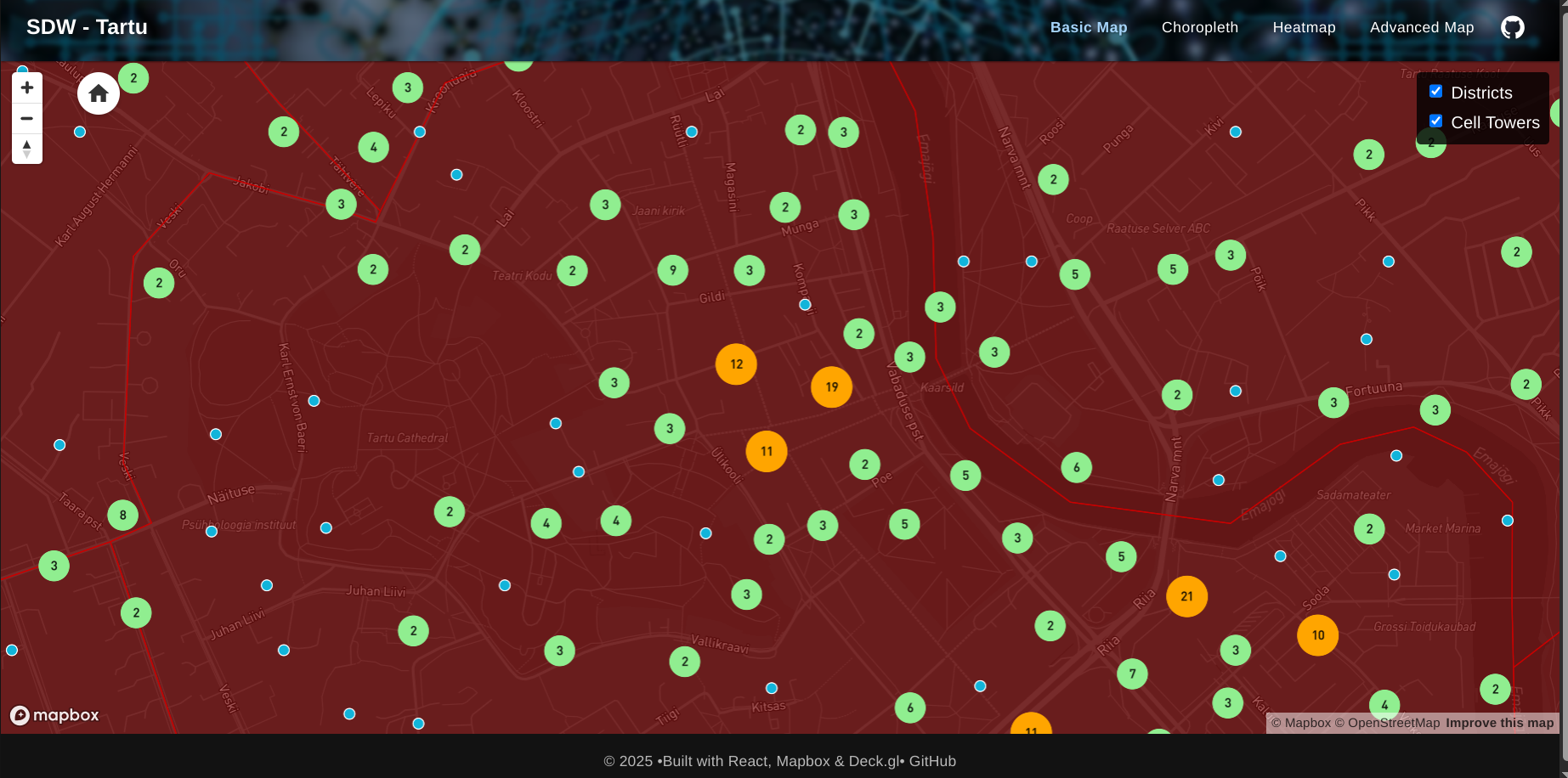
Tartu Cell Towers Visualization
Interactive map visualizing cell tower coverage and signal strength across Tartu using Deck.gl, React, and Mapbox.
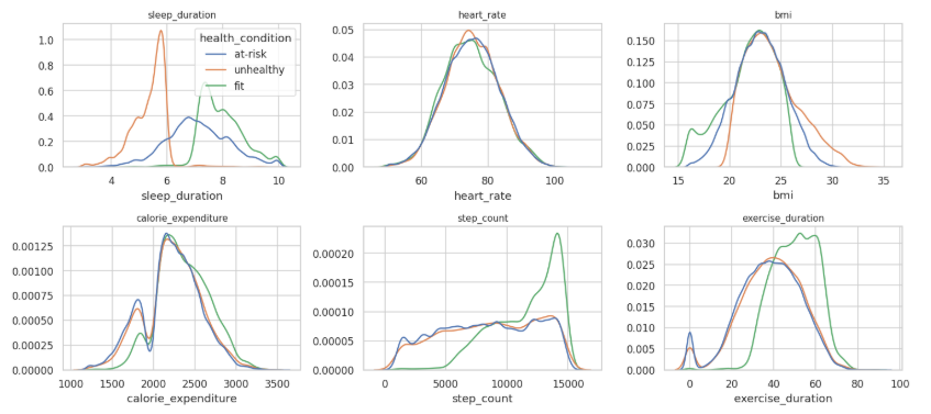
Predicting Student Health Risk
LightGBM model classifying students into fit / at-risk / unhealthy from sleep, heart rate, BMI, calorie expenditure, step count, and exercise duration. Kaggle competition notebook, private leaderboard score 0.87498.
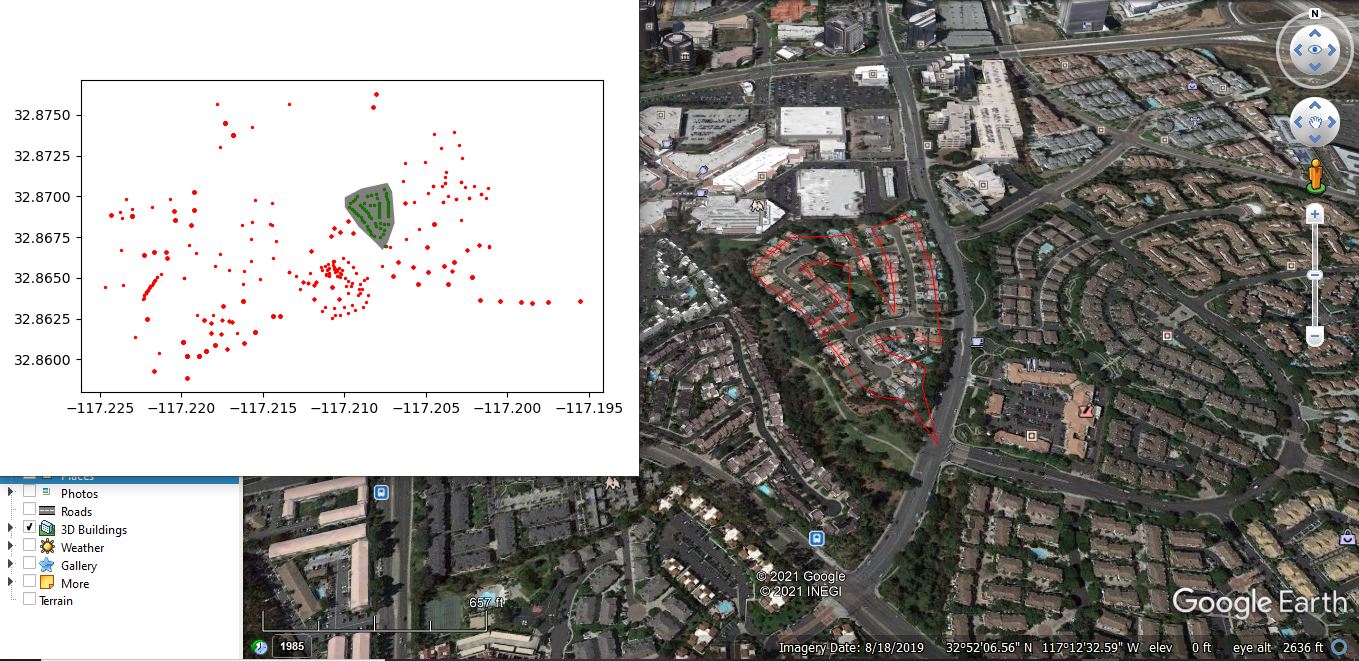
Drone Path Mapping
Calculating and mapping efficient drone survey paths with Shapely and a greedy travelling-salesman heuristic.